
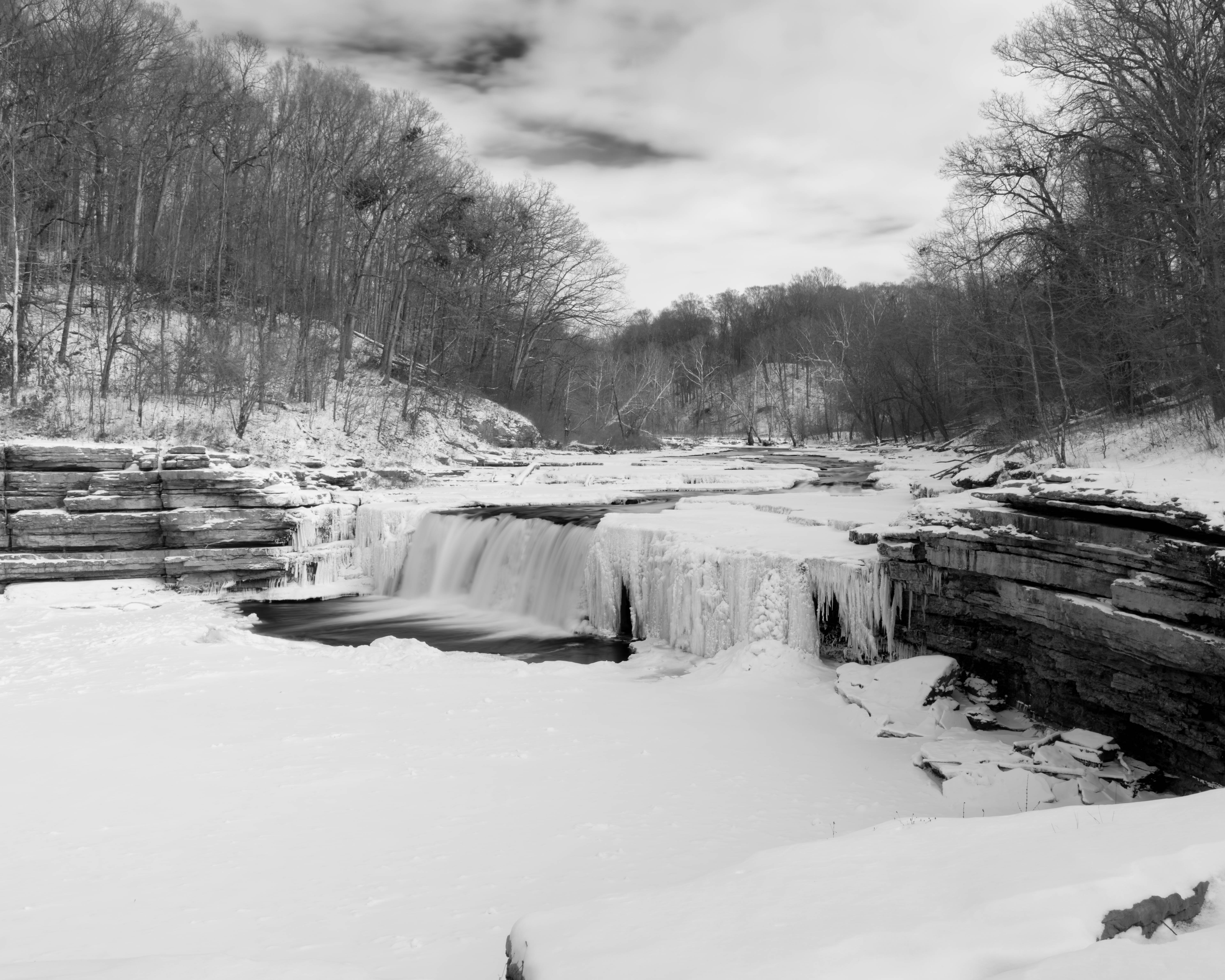
This is a beautiful recreation area just west of Indianapolis. The waterfalls are easy access with parking nearby and a nature trail along the river. There is one hill to climb up to Upper Falls and the rest of the trail is flat. I visit a couple times per year and I know the falls looks really interesting when we have a week or more below 20F. I was not disappointed. I added some maps of the area at the bottom if you are curious where I took the photos.
I was there mid-afternoon on a cloudy day just after the snow. The clouds were breaking up a little when I arrived giving me something more interesting than a flat gray sky.
I was surprised to see several other people on this bitter cold day. I guess they were just as tired as I was of sitting around the house!
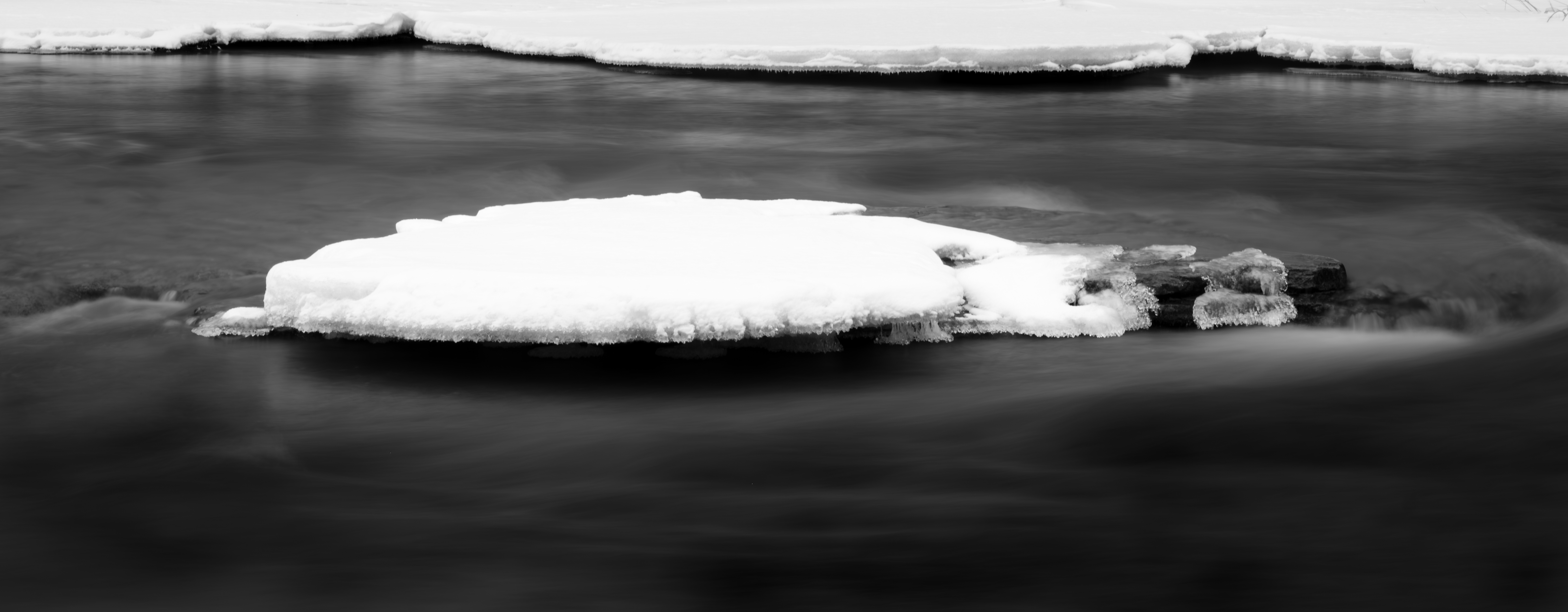
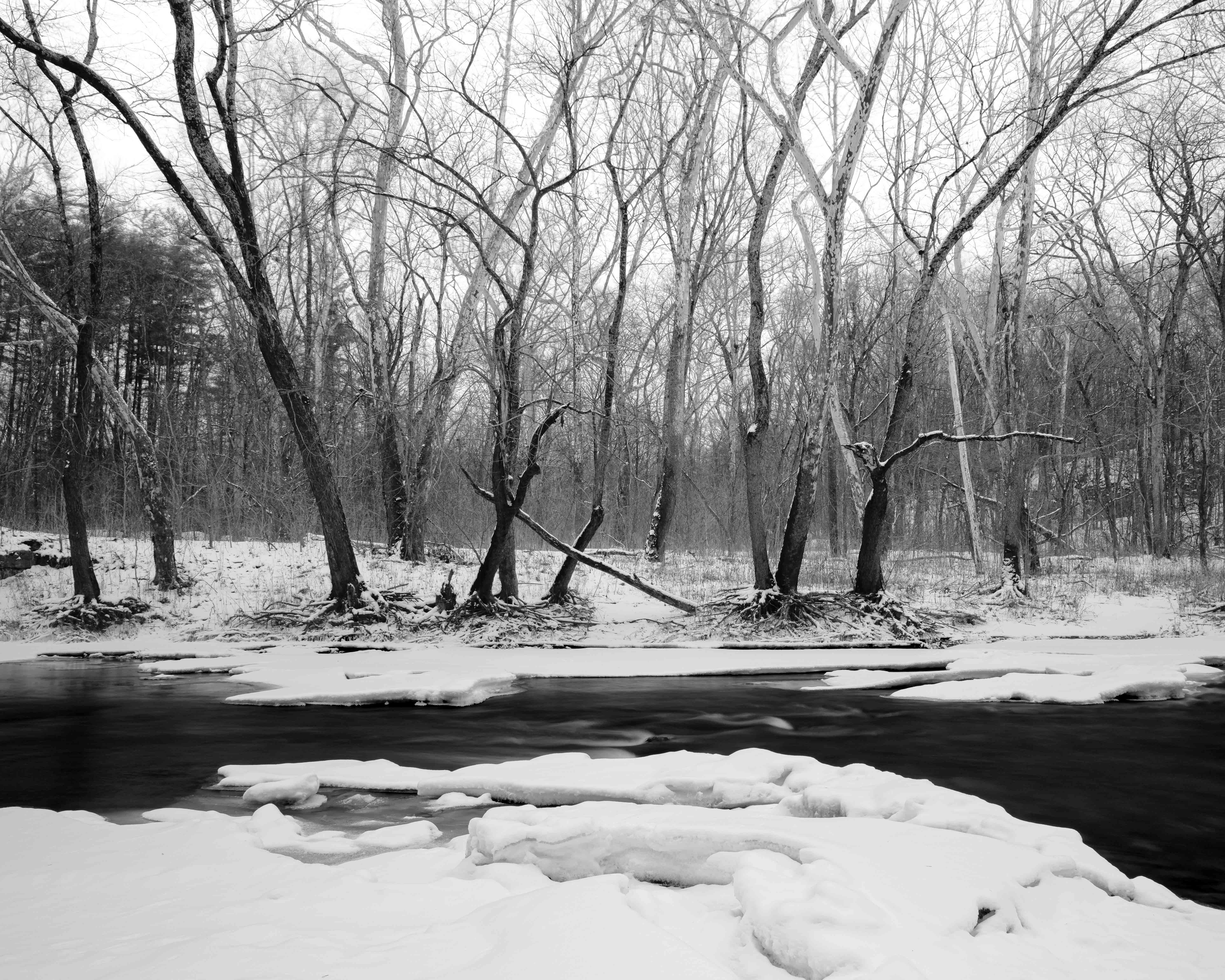
The river had some very unique ice patterns that would have looked really nice from the drone, but Indiana does not allow drone flights on DNR property so I left it home.
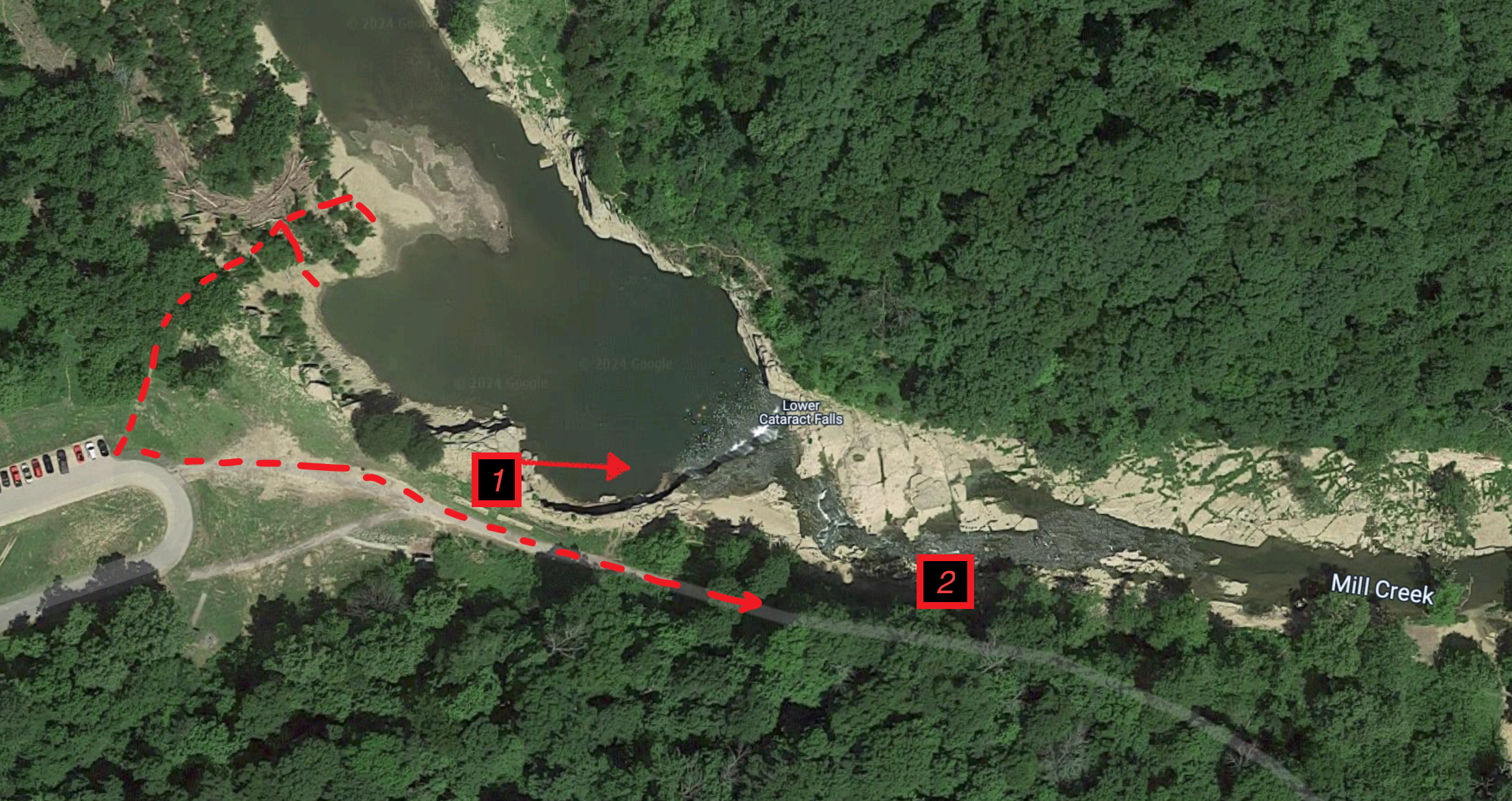
I did not take any photos of the larger upper falls that I was happy with. There is no marked or easy access to the base of the falls so it can be extremely treacherous along the river’s edge in the winter …especially when you cannot tell what is rock and what is ice. It would be easy to end up in the river. I played it safe and stuck to the easier access shore lines.
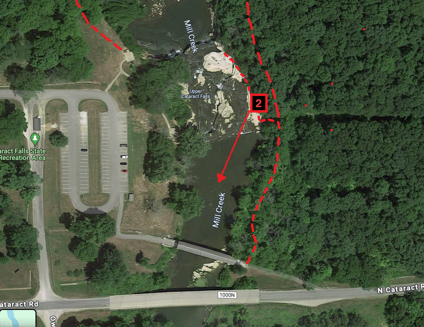
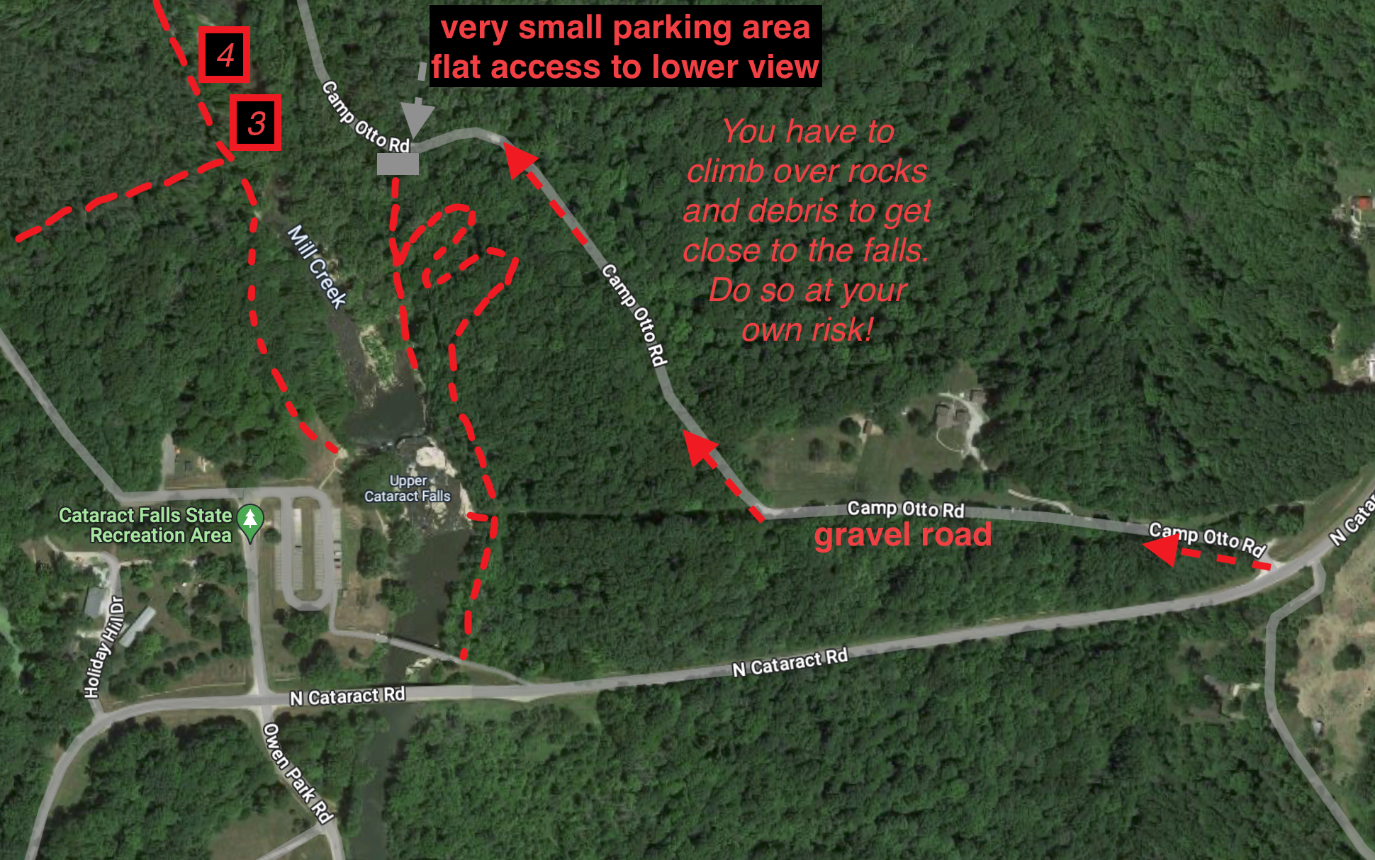
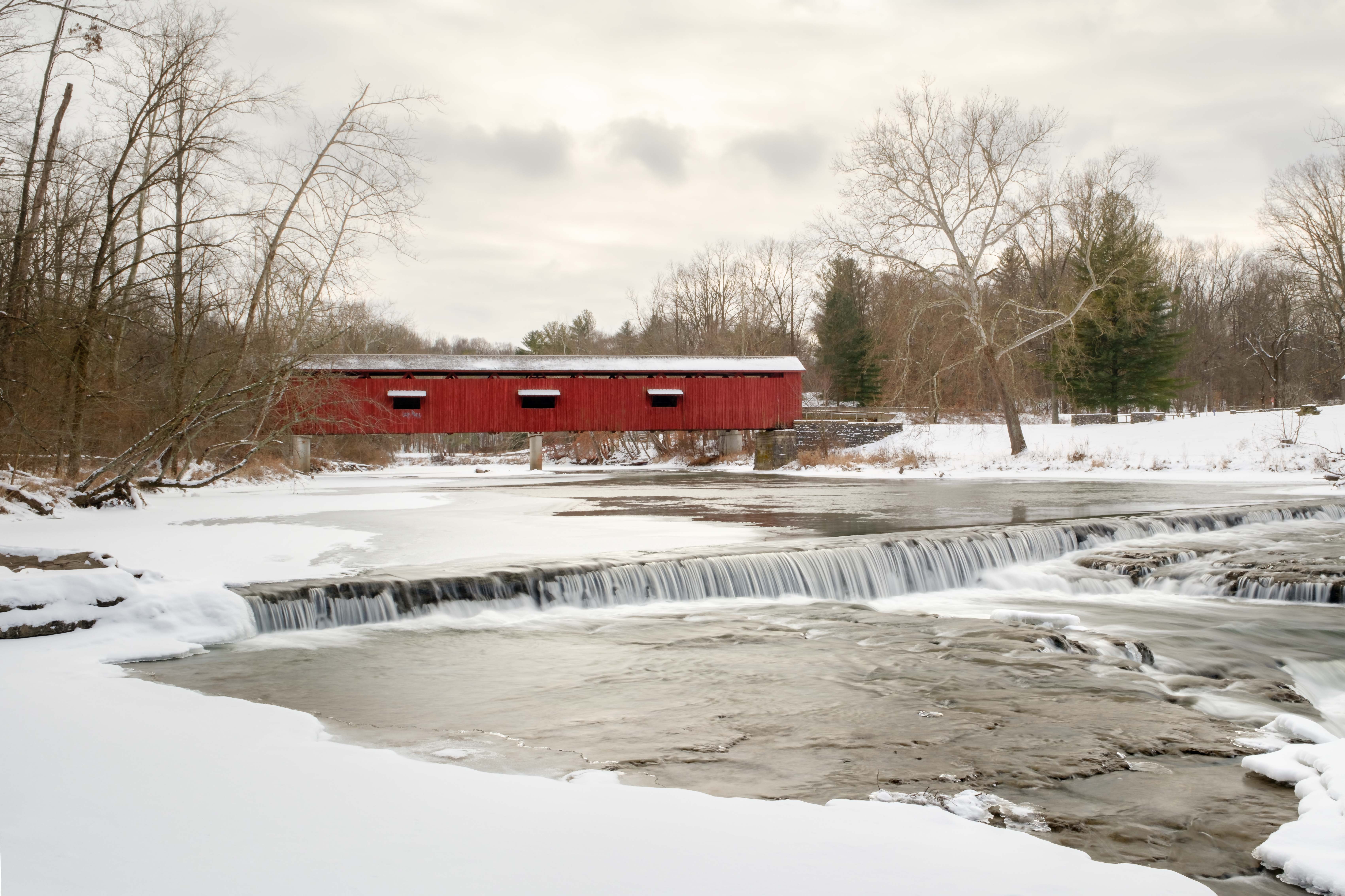
There are some unmarked trails on the east side of the falls if you cross the fence on the far end of the covered bridge or walk the roadway to the east side of the river and enter the woods just after the fenced area. The trail is well used and easy to spot. I marked this on the map below. I would consider this trail advanced. It is a narrow single track and it takes you along the cliff on the east side of the falls. If you follow it to the end you will go down into the ravine by the river where you can access the east side. The easier way to go is drive around on the gravel road and park at the small gravel lot.
I was a bit disappointed I didn’t find a great composition of the main upper falls, but I did find a couple of surprises as I walked the nature trail going from upper falls to lower falls. This is a waterfall worth a visit any time of year and I am glad I went. I hope you enjoy the images.
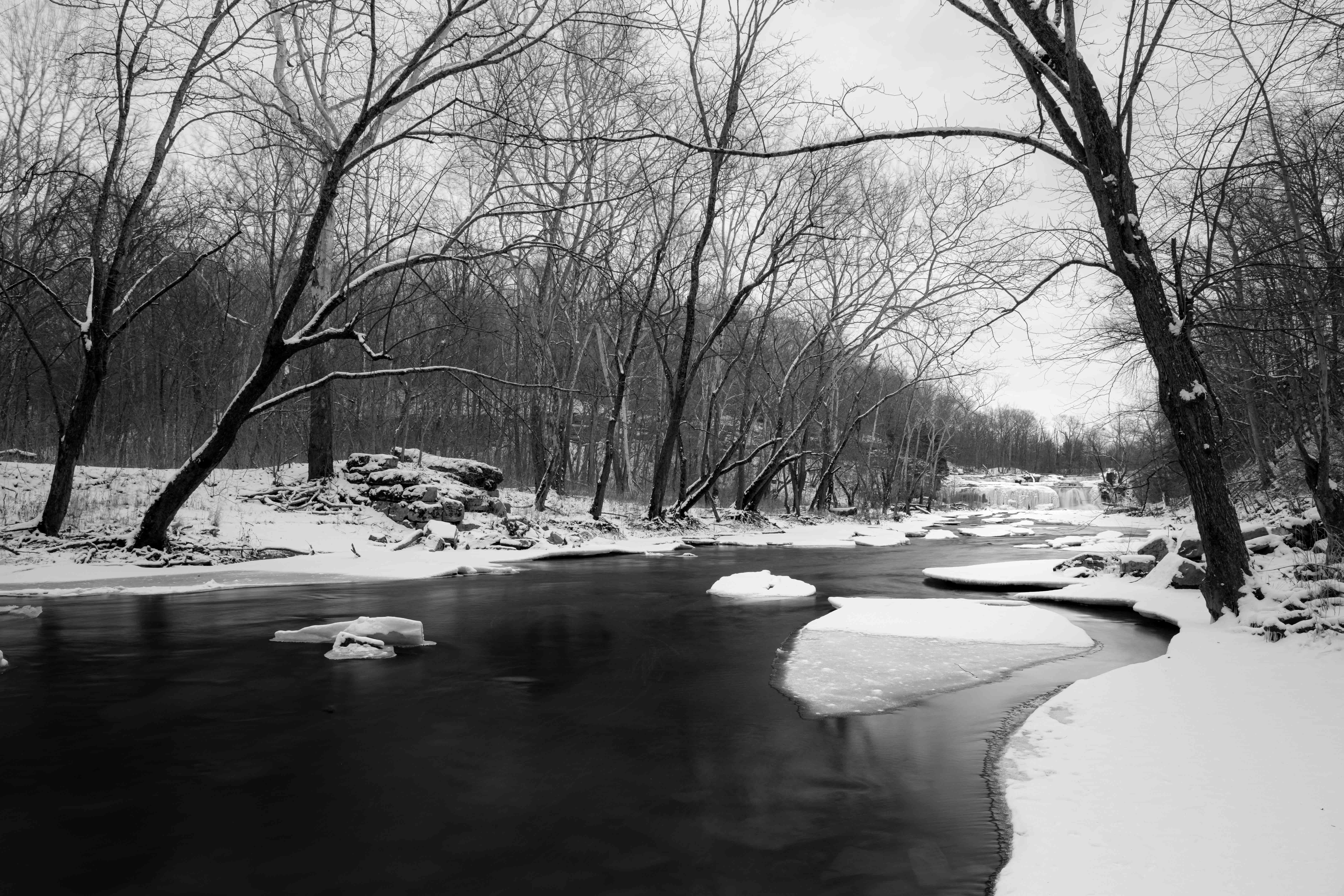
Not all trails at Cataract Falls are marked or show up on maps. I found them easy to navigate in warmer weather. I would not recommend leaving marked trails if you are new to the area. This is a rocky area and it is easy to slip off a rock or edge in the winter.